Data Collection: Field Experience, Little Cottonwood Creek Watershed
|
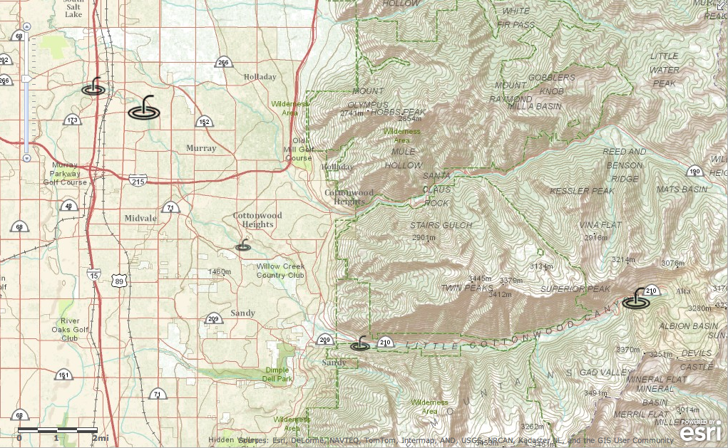
For this project we visited five sites along Little Cottonwood Creek. At each site we recorded GPS coordinates and collected water samples. We measured the water samples for dissolved oxygen, turbidity, pH level, temperature, and nitrates. We also recorded the types of water insects that we found at each site. Maps and data collected were added to various maps which are shown below.

Team Law-Laws checking water samples for mayflies, stoneflies and other insects.
|
Video detailing the life of the mayfly, the most common insect found in this experience.
|
Full Map with details shown below. This can also be viewed at ArcGIS.com
Disaggregated Maps and Data
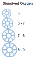
Dissolved Oxygen
|
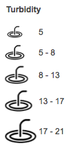
Turbidity
|

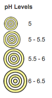
pH Levels
|
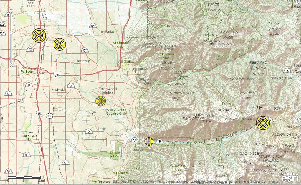
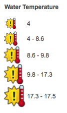
Water Temperature
|

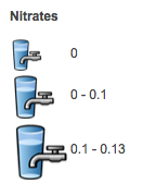
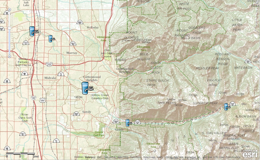
Nitrates
|
The Data File

|
Click the image above to see a larger version of the file data.
You can also download the data file to the left. Save and open with MS Excel. | ||
Photo Albums
Site 1: Alta |
Site 2: Granite Quarry |
Site 3: Willow Springs |
Site 4: Murray Park |
Site 5: Fun Dome |